Field Locations

CRMRC has two different fields from which we fly:


1. Our Primary field is located off Macquam Shore Road, St. Albans, VT. Lat / Long: 44°49'30.3"N 73°10'18.4"W

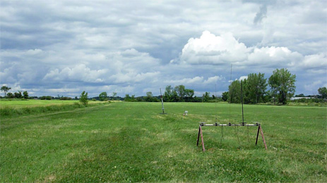
We normally launch year round from this 400 acre high power field. This field has a 10,000' FAA waiver and supports motors up to M impulse. If this field becomes inaccessible during some winter months (extremely rare), we will launch at our alternate Sandbar State Park location if Lake Champlain is sufficiently frozen to support our operations.

Map of Maquam Shore Road

Directions:

- From I-89 Exit 19, onto exit ramp, continue straight through traffic lights until road ends in a "T" with RT 7, about 0.8mi
- Go right, (North) on Rt 7 into downtown St. Albans for 0.7 miles. Go left on Lake Street at the traffic light.
- Follow Lake Street for 2.8 miles until it turns into Maquam Shore Road.
- Follow Maquam Shore Road for another 2.3mi and look for the CRMRC sign on the right. The field entance is close to 973 Maquam Shore Rd.


2. Our backup winter field is located on Lake Champlain off of Sandbar State Park

If our primary field in St. Albans is inaccessible in winter (very rare), we fly here if Lake Champlain is sufficiently frozen. (Usually February and March)

Sand Bar State Park is located at 1215 US Rt 2 Milton, Vermont 05468. Lat / Long:N44° 37.588' W73° 14.350'

We currently have an FAA altitude waiver to 10000 feet AGL supporting up to M impulse motors.

Map of Sandbar State Park

Directions: From I-89, Exit 17 (Champlain Islands): Go 4 mi North on U.S. Route 2.